
The South African Weather Service (SAWS) has issued a series of weather alerts ahead of expected widespread thunderstorms, heavy rainfall, and potential flooding in several provinces on Thursday, 24 April 2025.
Forecasts indicate that large parts of the country will experience cold and wet conditions, with severe weather likely to disrupt travel and impact infrastructure, agricultural operations, and daily activities.
An Orange Level 5 warning has been issued for severe thunderstorms, particularly affecting the eastern Free State, extreme eastern North West, southern Gauteng, and the south-western parts of Mpumalanga. These storms are expected to bring intense downpours that could flood roads and bridges, cause structural damage, and impact farming activities.
Additional Yellow Level 4 warnings are in effect for the south-central parts of Limpopo, northern Gauteng, the Mpumalanga highveld, and the northern and north-eastern regions of KwaZulu-Natal. These areas may face localised flooding, hail, and excessive lightning.
Further Yellow Level 2 alerts are in place for the central Free State, eastern North West, southern Limpopo, and north-eastern Mpumalanga (excluding the Lowveld), where isolated damage from thunderstorms and localised flooding is possible. Another Level 2 warning has been issued for the eastern half of the Eastern Cape, where disruptive rainfall could flood coastal and nearby inland settlements, roads, and bridges.
Provincial Outlook
- Gauteng: A cool, cloudy day is expected with widespread showers and thunderstorms.
- Mpumalanga: Conditions will be mostly cool to cold, with widespread rain and thunderstorms. The Lowveld, however, will remain warm with isolated rainfall.
- Limpopo: Cloudy and cool overall, with widespread storms expected in the south-west. The Lowveld and Limpopo Valley will stay warm.
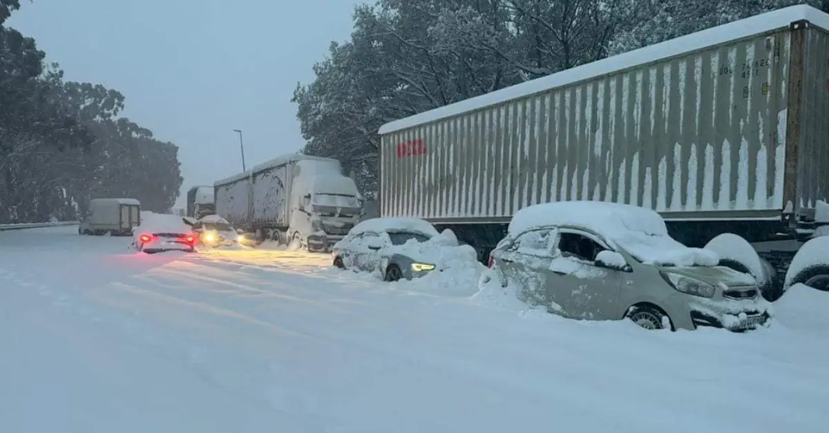
- KwaZulu-Natal: Residents should brace for a cold, wet day with widespread showers and thundershowers, and the possibility of light snow over the south-western highlands.
- Free State: Expect cloudy, cool weather with a range of isolated to widespread thundershowers, especially colder near the Lesotho border.
- North West: Cool, cloudy conditions are expected, with widespread thundershowers concentrated in the eastern parts of the province.
- Northern Cape: Morning and evening fog is expected along the coast, with inland areas experiencing partly cloudy and cool conditions and isolated thundershowers in the east.
- Western Cape: The province will see partly cloudy and cool conditions, with fog in the morning and warmer weather further inland.
- Eastern Cape: Mostly cloudy and cool to cold, with widespread coastal rainfall and scattered showers in inland areas.
SAWS has not issued any fire danger warnings but urges the public to stay alert and monitor official weather updates regularly. Conditions may change rapidly, and further disruptions are possible depending on the severity of the storms.


Facebook Comments