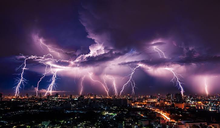
The South African Weather Service (SAWS) has issued a Level 4 yellow warning for severe thunderstorms expected to affect parts of the Free State and Eastern Cape on Wednesday.
This warning points to the potential for heavy rainfall, localised flooding, small hail, and intense lightning strikes—particularly across the central interior, including Bloemfontein, Bethlehem, and Aliwal North. These areas are likely to face significant disruption, with the Free State considered most at risk due to the threat of excessive lightning and hail.
Neighbouring regions are also on alert, with a Level 2 warning in place for parts of the Northern Cape, North West, and the interior of the Eastern Cape. While the threat is slightly lower, localised flooding and hail remain possible. Meanwhile, a Level 1 warning has been issued for sections of KwaZulu-Natal, where strong winds and early morning showers could pose risks.
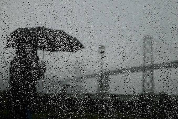
Rainfall predictions indicate widespread showers with an 80% chance across central and eastern provinces. Scattered to isolated storms are expected to move westward, though the Western Cape and far northern Limpopo are likely to stay dry.
Wind conditions are also expected to intensify, with gusts of up to 40 km/h along coastal areas—especially the southern coastline and parts of KwaZulu-Natal—potentially worsening the impact of already wet weather.
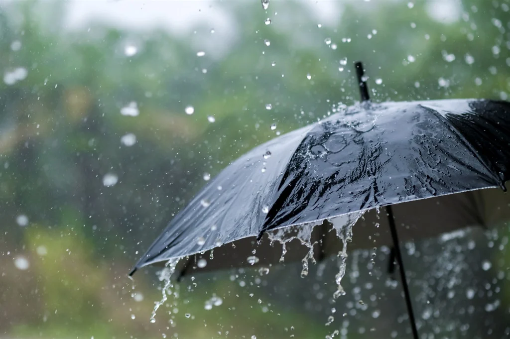
SAWS has urged the public to take necessary precautions: avoid flood-prone roads, stay updated on weather developments, and remain indoors during lightning storms. Motorists are advised to drive with extra caution, as conditions may change rapidly.


Facebook Comments