
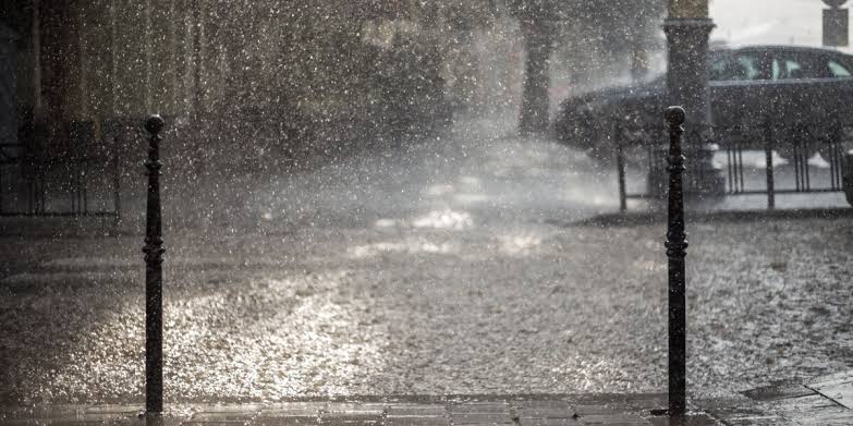
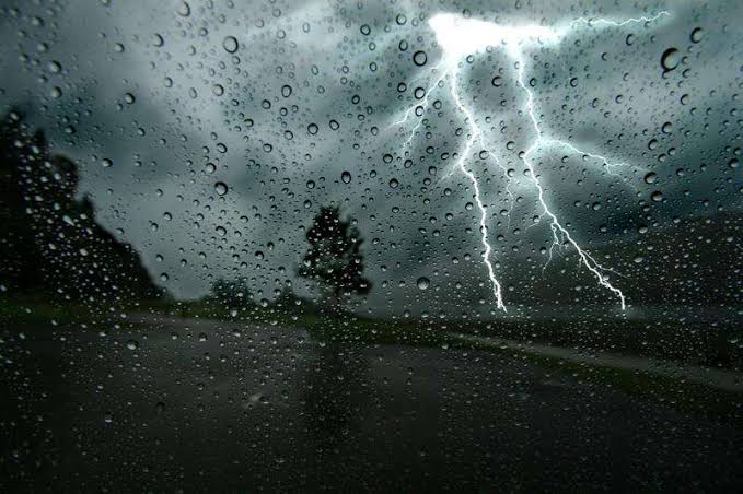
A fresh cold front is set to move over the western parts of South Africa from Friday, bringing another round of icy, wet, and windy weather conditions.
According to the South African Weather Service (SAWS), the Western Cape and Northern Cape can expect widespread rain, with maximum daytime temperatures dropping to 10°C or even lower in some areas. Wind gusts of up to 30km/h are also anticipated.
The affected areas include the southern parts of the Namakwa district in the Northern Cape and regions in the Western Cape such as Witzenberg, Breede Valley, and the Koue Bokkeveld.
Forecasts suggest temperatures will range between 11°C and 14°C on Friday and drop further to between 8°C and 14°C on Saturday.
In contrast, the eastern parts of the country are expected to warm up slightly heading into the weekend.
Johannesburg, for example, is forecast to reach highs of 19°C on Friday and 20°C on Saturday, with early morning lows hovering around 7°C and 8°C respectively.
Residents in the Western Cape are being urged to steer clear of flooded areas and to monitor official updates for safety advice.
Small stock farmers in particular are encouraged to take steps to protect their animals from the harsh weather.
The province has already been grappling with the aftermath of prolonged rainfall and strong winds. Flooding has led to widespread damage, particularly in informal settlements around Cape Town, including Langa, Masicendani, and Kampies, where more than 100 homes were damaged and hundreds of residents displaced.

Roads in Drakenstein, Bonnievale, and parts of the Overberg district were also temporarily closed due to flooding.
Emergency services have been under pressure, with Cape Town’s Fire and Rescue Service responding to 236 incidents in just ten days—162 of them vehicle collisions and 74 pedestrian-related accidents.


Facebook Comments